Crystal Falls trail
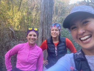
The last time I ran on this trail was in February 2021, and there were some construction going on but the trails were still intact. Today, there were more construction and the beginning of the trail was closed, but we were able to get through. I’m documenting this route here so that I can go back at some point and do it again, and also doing this for my friend who will run this trail for the first time. Hopefully you/I won’t get lost when I follow the below description. Make sure you have a map or gps, just in case you follow this and get lost.
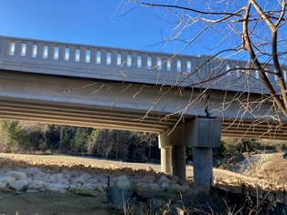
This route connects to the trail in Travisso, but I have yet to explore it further, as this route described below ends under the bridge, a little bit close to 1431. In February last year, we were able to cross under that bridge and get to 1431, and if we had time, would have probably reached Travisso. This time, I couldn’t find the trail, and there were big rocks under the bridge that we could have probably crossed, but for today, the bridge was our turnaround point.
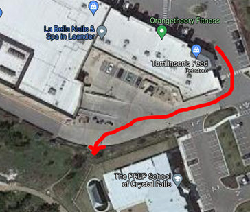
This is an out-and-back route for a total of 7 miles. Park right by Tomlinsons Feed – 3421 Lakeline Blvd #210, Leander, TX 78641, USA. Run towards the back by the dock, closer to the back of the PREP school. Enter the trailhead from there.
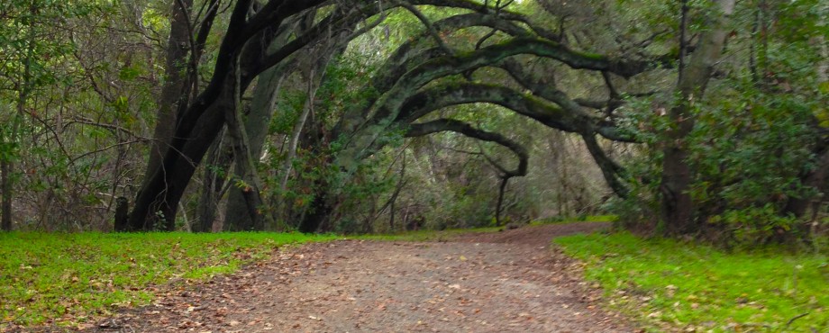
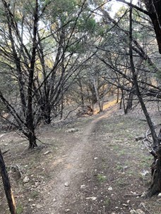
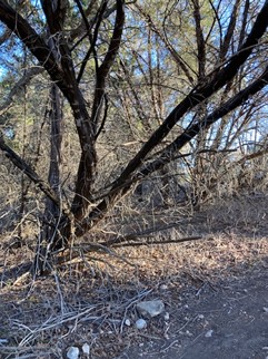
I like running to the right first, so you take the crushed granite wide trail, running behind the homes, and notice the fountain to your left in the middle of this crushed granite loop. Then enter the single-track trailhead to the right – there will be a sign for Nature Trail. Go through the tree-covered single-track trail, for half a mile, till you reach the construction and ‘no trespassing’ sign. Look to your right, there is an opening and passage way you can get through.
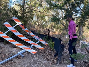
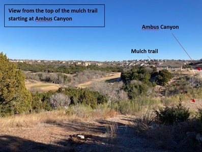
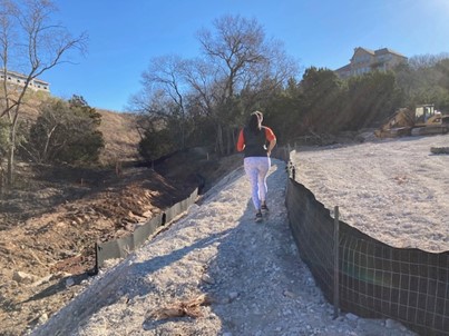
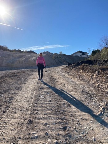
Follow it till you get to the construction site. Keep left and follow the construction road up till you get to the cul de sac of the neighborhood, at Long Bow Drive (on maps, you will find yourself at 1840 Long Bow Drive, Leander). Run on this road for ~1/2 mile then turn left at Ambus Canyon. If you want to skip that 1 mile from Tomlinsons and the construction, you can park on the street by 2605 Ambus Canyon, Leander. Get on the wide trail, starting with big rocks, then soft mulchy trail.
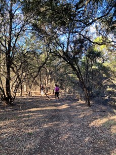
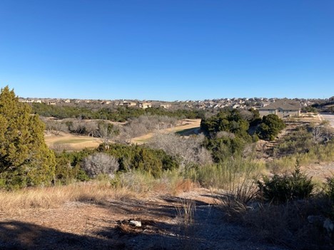
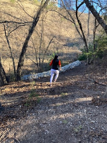
At the top of the hill, take the trail to the right, going downhill. This is the start of the second set of single-track trails. The trails are not quite marked, but just follow it, some have alternative high road or low, as these were created by mountain bikers. There will be a combination of dirt trails and rocky trails.
You will get to a point where the trail ends up on a fire road, cross that road then re-enter the trail on the other side.

On the other side of the fire road, you will get back onto the single-track trail, follow it till you get to the end, and it opens up again, then you will see a sign to Travisso trail.
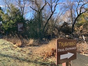
Once you enter this side, it will look more like groomed and flat trails, so you can run fast and do sprints at this point.
In about 1/5 mile from the Travisso sign you may see the bridge. This is my turnaround point for this route. I will explore it further at some point with people who are familiar with this area.
You then re-trace your route back, as this is an out and back route.
Strava route:
https://www.strava.com/activities/6538445018